
← Everything · Fishing
 A project by John Tibell
A project by John TibellDigital DjupkartaThe bottom of the lake, as it was measured.
Depth maps for 3,384 Swedish lakes: contours, edges and holes, in full screen. Tap the water to read the depth, see the depth under your boat as you drift, or draw a line and see the bottom's profile along it.
3,384lakes, measured
134 mdeepest: Siljan
7tools on the water
0subscriptions
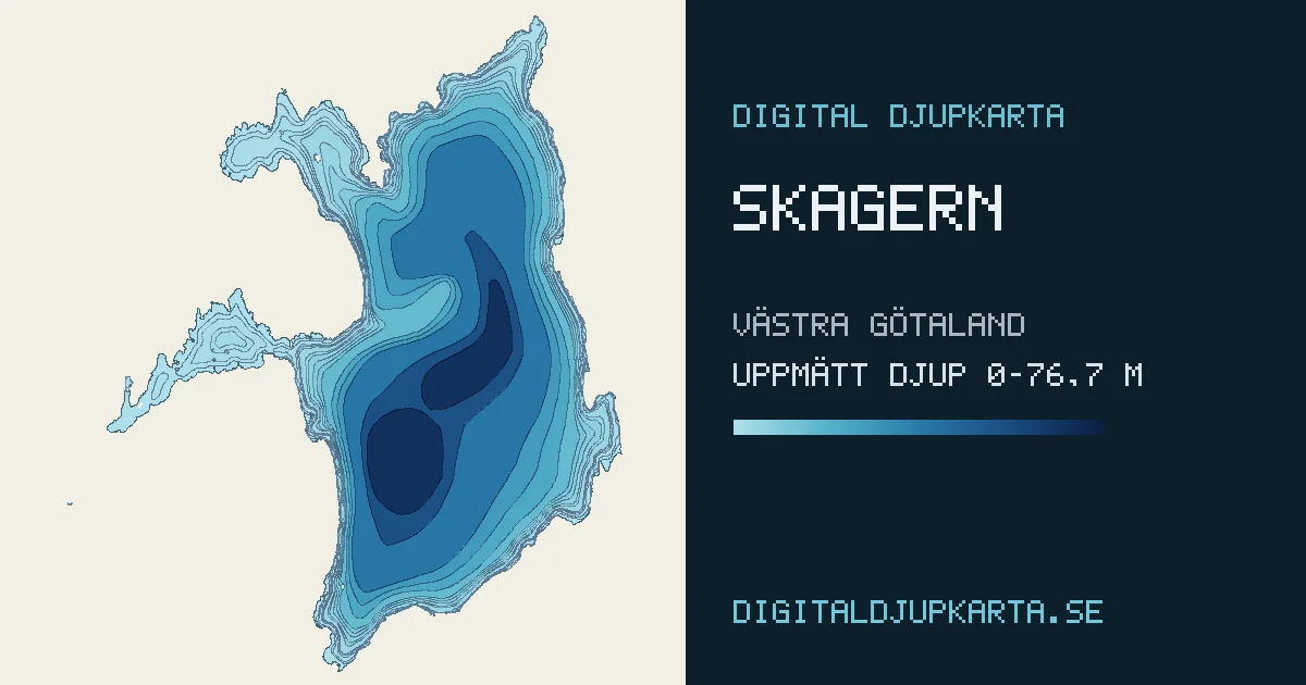
Twelve of 3,384
The biggest lakes, from below
Every shape here is drawn from its lake's own soundings. Nothing is illustrated.
To scale
How deep is deep?
Vänern goes down exactly as far as Stockholm City Hall's tower reaches up: 106 m. Siljan and Vättern go further.
Depths as given on digitaldjupkarta.se.
The numbers
| Lake | County | Greatest depth |
|---|
On the water
A map you can ask questions
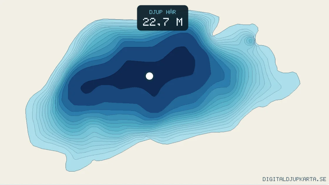
- Depth where you pointHow deep is it just there?
- Depth under the boatHow deep is it under me, right now?
- Show one depth rangeWhere in the lake is the depth I'm looking for?
- Cross-sectionWhat does the bottom look like between these two points?
- SlopeWhere does the bottom drop away, and where is it flat?
- DistanceHow far is it over there?
- AreaHow big is this spot?
“A digital depth map isn't a picture of a sea chart. It's the lake's own survey, fitted to its real shoreline, and you can ask it questions.”
How deep is it there? Where is the edge? What does the bottom look like between here and there? And every picture of a bottom comes from a real survey. Nothing is illustrated.
Find your lake.A week on the water is 20 kr, a year is 100 kr, per lake. A one-time purchase: nothing renews by itself.
Open digitaldjupkarta.se ↗